Geography and Location of Mount Tai, China
Mount Tai (Tai Shan) stands proudly in Tai’an City, Shandong Province, about 400 kilometers south of Beijing. This UNESCO sacred mountain is easily reachable by high-speed rail—just 2 to 3 hours from Shanghai—making it a perfect day trip or weekend escape. The mountain’s exact coordinates place it right in China’s cultural heartland, surrounded by historical gems.
To get your bearings, explore the interactive Google Map below. It offers a full overview of Mount Tai within China, complete with zoomable layers to nearby attractions like Qufu, the hometown of Confucius, just a short ride away.
Mount Tai fits neatly into a popular travel trio known as the Beijing–Tai’an–Qingdao Golden Triangle. This itinerary links the imperial capital, the spiritual mountain, and the coastal city of Qingdao, offering a rich mix of history, nature, and modern urban vibes.
Seasonal map overlays reveal the dynamic weather challenges here: typhoon-prone zones pop up in the summer months, while winter maps highlight snowy paths that transform the trails into serene, frosted wonderlands. Knowing these variations helps travelers plan the best route and timing for their climb or visit.
Detailed Trail Maps for Mount Tai
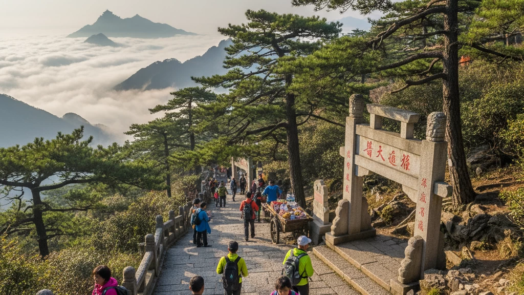
The classic hiking route up Mount Tai famously features the Heavenly Stairs—a steep climb of around 6,660 stone steps stretching 7 to 9 kilometers from Red Gate to South Heaven Gate. This trail includes over 3,000 steps and detailed elevation profiles, with key rest stops like Zhong Tian Gate and beautiful midpoint temples such as Puzhao Temple. Maps clearly mark these points to help you pace yourself.
For those wanting a break from the climb, the Aerial Cableway offers a 15-minute ride covering 2.1 km from Peach Valley to Zhong Tian Gate. Layered map overlays show shuttle bus routes connecting the cable car station to nearby trailheads, giving you flexible options. Hybrid paths combining hiking and cable car rides are perfect for mixed-ability groups.
More experienced hikers can explore extended routes, including the Black Dragon Pool detour or quieter rear-mountain trails like the Tianwaicun route, ideal for those looking to avoid crowds. These branches are mapped with clear waypoints.
Safety is a top priority on the trail maps, which highlight steep sections, zones above 1,000 meters where altitude sickness might occur, and emergency beacon locations. For convenience, a downloadable PDF with all these features and GPS waypoints is available for offline use during your trek.
For a comprehensive overview of Mount Tai’s routes and tips, check out the detailed hiking guide from Mount Tai Travel.
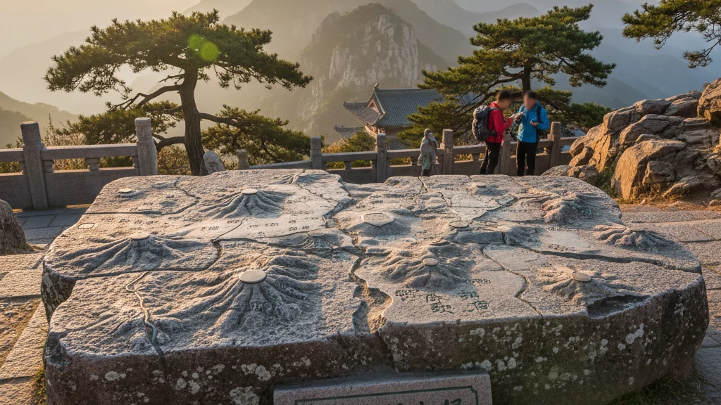
Key Landmarks and Temples on Mount Tai Map
At the summit, the map highlights major spots like the Jade Emperor Temple, Sun Viewer Pavilion, and 18 panoramic viewpoints, including the famous Imagination Peak, known for its stunning cliff-edge views. These locations offer some of the best sunrise and sunset experiences on Tai Shan, perfect for photography and quiet reflection.
Near the mountain’s base, the map shows Dai Temple, a sprawling complex with Song Dynasty architecture that serves as the traditional starting point for many pilgrims. Along the route, you’ll also find the Ke Shrine and ancient cypress groves, which provide peaceful rest stops surrounded by nature.
You’ll find different thematic overlays on the map distinguishing Taoist heritage trails from natural landmarks like the Three Pools to the Moon waterfall, giving hikers options to focus on cultural history or scenic views.
For a virtual preview, 360° photos and Google Earth integrations let you explore key sites before your trip, offering a digital walk-through from the comfort of home.
Mount Tai’s map also marks over 2,200 ancient inscriptions and cliff carvings made by emperors and scholars throughout history. These relics appear with audio guides for self-paced tours, deepening your understanding of the mountain’s spiritual and cultural significance.
For a detailed route including these landmarks, check out our complete route guide.
Transportation and Access Maps
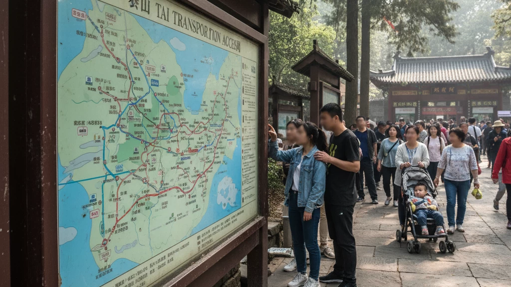
Mount Tai is easy to reach with several transportation options mapped out for a smooth trip. Tai’an Railway Station is the main hub, served by high-speed G trains from Beijing, making the journey quick and convenient. From there, shuttle buses #3 and #9 connect you directly to the mountain’s entrance. Taxis are also affordable, with rides typically costing between RMB 20 and 50.
On-site, you’ll find well-marked parking lots for private vehicles, bike rental spots for an eco-friendly ride, and EV charging stations to support electric cars. For international travelers, Jinan Yaoqiang Airport is about an hour’s drive away, while Qingdao Jiaodong Airport takes roughly 2.5 hours. Both airports provide options for visa-on-arrival, simplifying entry procedures to Shandong Province.
To support green tourism, shared e-bikes and low-emission buses are available around Mount Tai, making it easy to explore with less environmental impact. These eco-transport choices align well with China’s push for sustainable travel, making your visit both easy and responsible.
For more details on routes and transport links, check the comprehensive Mount Tai regional maps and how they fit into your itinerary.
Best Times to Visit Mount Tai: Crowd and Weather Guide

A color-coded calendar map helps you pick the best times to visit Mount Tai, especially if you want to catch the famous sunrise. The peak sunrise season is in October, with first light around 5:30 AM—perfect for early risers seeking stunning views. For a quieter experience, visit in the off-season from December to February when snowy trails open up for snowshoeing.
Festivals and Special Events
Mount Tai’s International Climbing Festival takes place every September, drawing hikers and cultural lovers alike. Also, the Lantern Festival lights up key spots on the mountain with vibrant displays, providing a unique atmosphere for evening visits.
Packing Tips by Season
- Monsoon season: Pack rain gear and waterproof shoes—trail maps highlight the wetter paths where extra caution is needed.
- Winter months: Bring warm layers for temperatures that can drop to -5°C near the summit, and consider insulated gloves and hats.
Sustainability and Low-Impact Zones
Maps now show designated low-impact hiking zones where visitors are encouraged to follow leave-no-trace practices. These areas help protect Mount Tai’s natural beauty and historic sites from overuse, supporting green tourism efforts promoted across Shandong Province.
For detailed routes and seasonal tips, check out this Mount Tai travel guide to plan your visit wisely.
Practical Tips for Mount Tai Travel
Navigation Apps
For getting around Mount Tai, Gaode Maps (Amap) is your best bet—it offers detailed offline layers for hiking trails and landmarks here. If you prefer something more global, Maps.me works well and also has offline maps, though it’s less detailed on local shuttle routes and footpaths.
Budget Breakdown
- Entry Fee: RMB 115 (about $17)
- Cable Car Round-Trip: RMB 100 (around $15)
- Watch for extra costs on shuttle buses or guided tours, especially near key spots like the Heavenly Stairs or summit temples.
Health and Etiquette
- Prepare for altitude: Some sections climb above 1,000 meters, so hydrate and take breaks.
- No-smoking zones are strictly enforced on trails and near temples.
- Respect local customs—bows at temple gates go a long way and help keep the atmosphere peaceful.
Group vs. Solo Travel
- Families and beginners will prefer flatter paths near the base or the shuttle routes.
- Solo hikers and adventure seekers can tackle the more rugged trails like the Black Dragon Pool detour or rear mountain routes for fewer crowds and more challenge.
Mount Tai Travel Perks
By choosing guided tours from Mount Tai Travel, you get access to exclusive downloadable maps and even drone footage for an aerial view of the hikes—great for planning or just soaking in the full mountain experience before you go.
Interactive Map Gallery for Mount Tai China Map
Explore Mount Tai with high-res topographic maps from OpenStreetMap, giving you clear elevation details and trail routes. For a personalized experience, try the custom Mount Tai Travel interactive map tools—many free options like ArcGIS let you tweak routes and plan your hike exactly how you want.
We also encourage you to share your pinned photos right on the map. This user-generated content helps build a strong community, offering real insights and fresh views you won’t find in guidebooks.
Using the map on your phone? Make the most of mobile-optimized features like AR filters that overlay landmark info as you explore. This makes spotting temples, viewpoints, and trail markers simple and fun.
If you lose signal or run out of battery, always have a printed map backup ready. Solar chargers are also a smart addition for longer trips to keep your devices powered throughout your Mount Tai adventure.
FAQs About Mount Tai China Map
How long is the full hike?
The classic hike up Mount Tai usually takes between 6 to 10 hours, depending on your pace and stops. The 6,660-step Heavenly Stairs route from Red Gate to the summit is a solid half-day trek for most hikers.
Is the cable car weather-dependent?
Yes, the cable car operates based on weather conditions. It’s best to check live updates on your map app or the official Mount Tai website before planning your ride.
What’s the best map app for foreigners?
Gaode Maps (also called Amap) is great for navigating Mount Tai, and it offers an English toggle. It works well offline too, which is perfect for hiking the trails.
Can I camp at the summit?
Camping at the top of Mount Tai isn’t allowed. However, the extended map marks nearby glamping and guesthouse options if you want to stay close by overnight.